FEMA Flood Maps Miss Rainfall Risk, Putting Waterfront Property Owners in Danger
June 16th, 2026 2:16 PM
By: Newsworthy Staff
Coastal risk expert Albert Slap warns that FEMA flood maps do not account for rainfall-driven flooding, leaving waterfront property owners vulnerable to uninsured losses, as demonstrated by Hurricane Harvey where 70% of flooded homes were in low-risk zones.
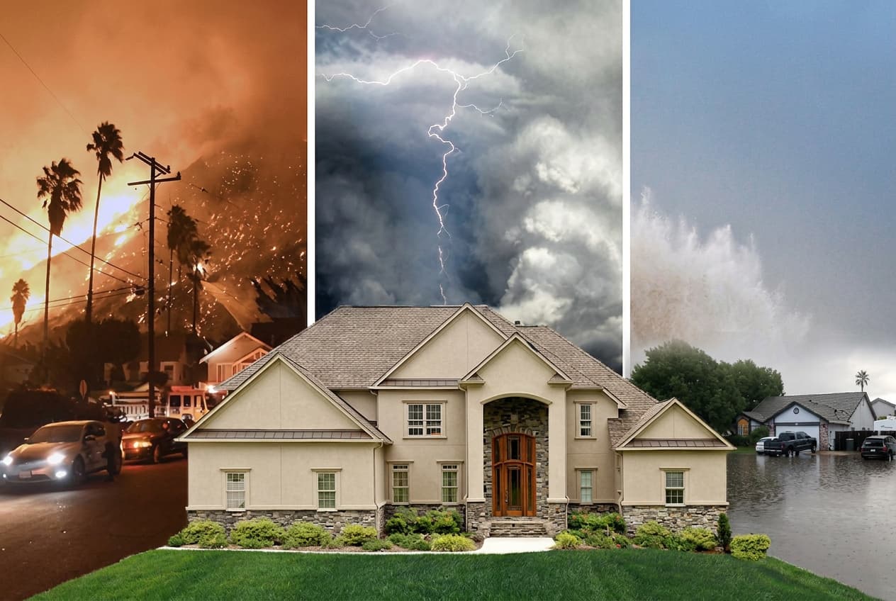
If you own a waterfront property and your FEMA flood map shows low risk, you might feel like you have nothing to worry about. That feeling could be one heavy rainstorm away from costing you everything, according to Albert Slap, founder of RiskFootprint™, who has spent more than a decade working with property owners, lenders, and due diligence professionals on natural hazard risk. His message to waterfront property owners who rely on FEMA flood maps alone is direct: the map is not telling you the full story.
"FEMA flood maps don't include heavy rainfall flooding," Slap says. "Wherever it rains, it can flood. That's the part most property owners never hear until it's too late." FEMA flood maps were built around riverine flooding, meaning rivers and streams overflowing their banks, and coastal surge from major storm events. What they do not do is model rainfall-driven, or pluvial, flooding—the kind that happens when a storm dumps several inches of rain in a short period and drainage systems cannot keep up. For waterfront property owners, this distinction is critical. A property sitting on a bay, canal, coastal inlet, or lake may show up on a FEMA map as low risk or even outside any flood zone entirely. The map is not wrong about riverine risk; it simply says nothing about what happens when three inches of rain falls in two hours. FEMA maps also have an age problem; many were drawn decades ago and have not been updated to reflect changes in land development, drainage infrastructure, or more intense rainfall patterns.
The consequences of misplaced confidence in FEMA flood maps played out in devastating detail during Hurricane Harvey in 2017. Approximately 150,000 homes in the Houston area flooded. Seventy percent of them were in FEMA's X Zone, the designation for areas of lower flood risk. Most of those homeowners had no flood insurance because the map told them they did not need it. Harvey caused an estimated $125 billion in total damages. The flooding was not caused by rivers overflowing; it was caused by rainfall. Waterfront property faces a version of this same exposure: the scenic water view that makes the property valuable is also a geographic feature that can concentrate water rapidly when rainfall events overwhelm local drainage.
A flood assessment that actually reflects the full risk picture needs to go beyond what FEMA provides. That means integrating rainfall-driven and other flood modeling alongside FEMA maps, including models from NOAA and local sources. RiskFootprint™ uses flood models developed by Fathom and Swiss Re, the same tools used by global insurers, to give property owners a complete picture across riverine, coastal, and pluvial flooding. But flood exposure is only part of the picture; the other critical factor is a property's vulnerability, which depends heavily on how high the first floor sits above the ground. A waterfront home elevated on pilings faces a fundamentally different flood risk than one with a ground-level slab, even if both show up identically on a FEMA map. Using AI and machine learning applied to Google Street View, RiskFootprint™ estimates first-floor elevation across more than 300 million U.S. properties.
Slap offers practical guidance for waterfront owners. First, do not treat a low FEMA X Zone designation as a clean bill of health; it says nothing about rainfall flooding. Second, check whether you have flood insurance regardless of your FEMA zone. Federal flood insurance through the NFIP is available to any U.S. property owner and costs far less than most people expect; Slap pays $700 a year for coverage on his own home, which sits outside a FEMA flood zone but was flagged for rainfall flood exposure from an adjacent golf course. Third, get a property-level hazard assessment that includes rainfall flood modeling before you buy, sell, refinance, or renew insurance. A complete flood risk assessment for any U.S. residential property is available for $200 at riskfootprint.com/residential-product. For waterfront property owners who want to understand what their FEMA map is not showing them, that is a small price for a complete picture.
Source Statement
This news article relied primarily on a press release disributed by Keycrew.co. You can read the source press release here,